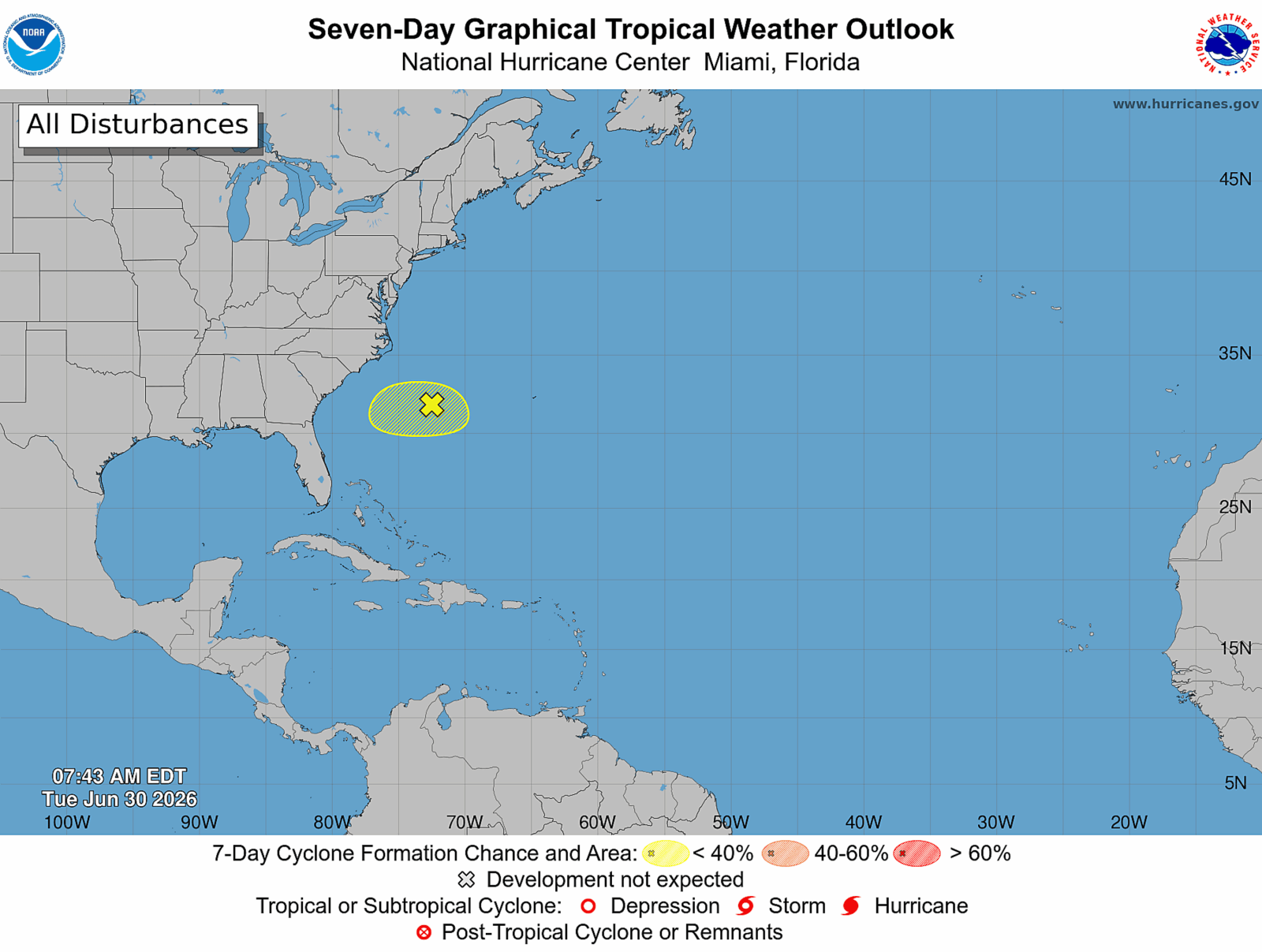
A low-pressure system near the southeastern U.S. coast may develop into Tropical Storm Bertha as it moves toward Florida. Forecasters are monitoring a limited timeframe for this change. The National Hurricane Center (NHC) indicated the system is disorganized, with only a 10% chance of forming a tropical storm within the next two days. Conditions are increasingly unfavorable for the system to strengthen significantly as it approaches Florida. If organized, it will become Bertha, the second named storm of the 2026 Atlantic hurricane season.
The NHC reported the disturbance is moving south and is expected to head west later this week. According to Alex DaSilva from AccuWeather, any development is likely on Wednesday or Thursday. The next 48 hours are crucial to determining whether the system becomes a tropical depression or a storm before reaching Florida.
This potential storm arises in what the National Oceanic and Atmospheric Administration (NOAA) predicts will be a calmer Atlantic hurricane season. Earlier this year, NOAA forecasted eight to 14 named storms this season, including three to six hurricanes and one to three major hurricanes. They noted that even a below-average season could produce dangerous storms. NOAA estimates a 55% chance of below-normal activity this year due to El Niño conditions, which intensify wind shear over the Atlantic and hinder storm development.
El Niño years often see fewer Atlantic hurricanes. Stronger upper-level winds can disrupt storms, preventing them from strengthening. DaSilva told Newsweek the current situation lacks significant wind shear, yet dry air from a cold front hinders development. A heat dome bringing high temperatures to the Midwest and East Coast may be pushing dry air into the system, reducing its development potential.
The disturbance is expected to approach the Gulf Stream soon. If a tropical depression forms, it will likely do so by July 1 or 2 as it moves over warmer waters. Despite the limited moisture in this disturbance, increased rip currents will affect Florida’s eastern coast to the Carolinas. These conditions could start as early as Tuesday afternoon. DaSilva advises beachgoers to be cautious given the heightened rip current risk during the heat wave.
Simultaneously, the NHC monitors another disturbance in the Pacific Ocean with an 80% chance of developing in the next 48 hours.