
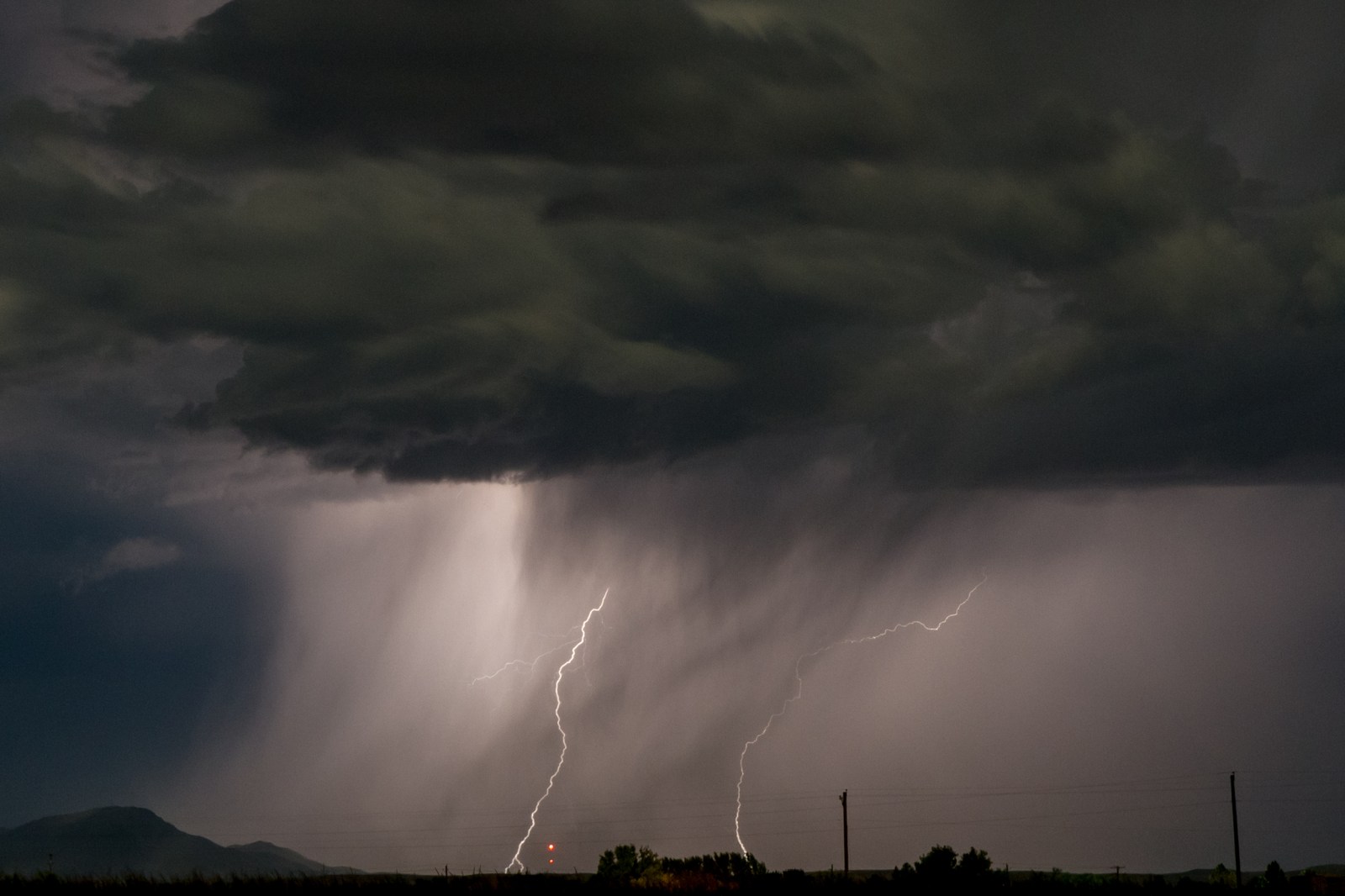
Severe thunderstorms with powerful winds struck parts of Illinois and Wisconsin on Wednesday afternoon. The storms led to power outages affecting more than 200,000 people. The National Weather Service (NWS) issued urgent weather warnings due to the severe weather.
The storms in Wisconsin and Illinois are part of a larger severe weather outbreak spreading across the Midwest. Meteorologists warned of dangerous thunderstorms threatening major cities such as Chicago, Milwaukee, and Green Bay. The primary threats involved include wind gusts reaching up to 100 mph, large hail, possible tornadoes, and heavy rainfall that might cause flash flooding.
Wisconsin and Illinois Face Destructive Storms
By Wednesday afternoon, nearly all of Wisconsin and much of Illinois faced severe thunderstorm warnings or watches. At 3:38 p.m. local time, the NWS in Green Bay issued a warning for areas such as Calumet and eastern Winnebago counties, highlighting the potential for wind gusts of 90 mph. The situation was described as “life-threatening,” comparable to tornado-like wind speeds. The storms moved northeast at about 60 mph, affecting communities like Appleton and Menasha.
Forecasters called these storms “destructive,” warning of flying debris and potential damage to homes, businesses, and mobile homes. Widespread tree damage and power outages were also expected.
Weather radar from windy.com showed severe thunderstorms extending from Illinois to Wisconsin. As these storms progressed, power outages surged rapidly. By 3:54 p.m. Central time, over 92,000 people were without power in Wisconsin, about 3.1% of monitored users at that time, with Alliant Energy and We Energies reporting the largest numbers of outages.
Illinois Power Outages
Illinois experienced even more significant power outages, with nearly 120,000 reported by 5:13 p.m. Eastern time. Will County in Northeastern Illinois reported the majority of these outages. Major utilities affected included Commonwealth Edison Company and Ameren.
Continuing Weather Risks
While severe thunderstorm warnings typically last for short periods, the broader severe weather threat remains. Forecasters anticipate that conditions driving Wednesday’s storms may continue into Thursday. Additional warnings and potential severe storms are likely to develop with limited warning.
Residents in the Midwest, particularly in Wisconsin and surrounding areas, should stay alert for updates. New rounds of dangerous winds, hail, or isolated tornadoes might follow even after initial storm systems pass through.
As of 5 p.m. Eastern time, tornado and severe thunderstorm watches were still active across the Plains and Midwest.