
El Niño Expected to Gain Exceptional Strength
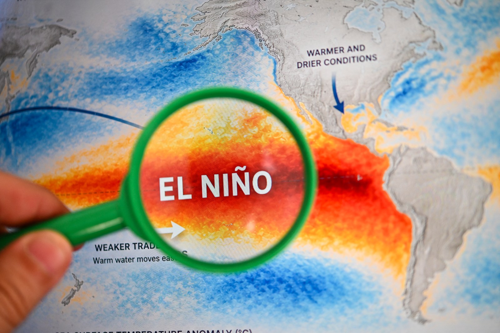
El Niño is intensifying across the tropical Pacific, with forecasts indicating the climate pattern may reach unprecedented intensity, influencing weather conditions through winter and into 2027. The National Oceanic and Atmospheric Administration (NOAA) anticipates a greater than 90 percent likelihood of a significant event during fall and winter, while the World Meteorological Organization (WMO) predicts El Niño will achieve strong intensity before peaking toward the end of 2026. AccuWeather suggests it might become the strongest El Niño since at least 1950.
Understanding El Niño
El Niño represents the warm phase of the El Niño-Southern Oscillation (ENSO), a recurrent Pacific climate pattern impacting weather globally. Its counterpart, La Niña, symbolizes the cool phase. Typical effects of El Niño may include stormier weather across the Southern U.S., drier conditions in certain northern regions, and alterations in hurricane activity.
The term “Super El Niño” has no formal classification by NOAA but is commonly used to denote an exceptionally strong event.
Monitoring and Prediction
Meteorologist Alex DaSilva from AccuWeather advises the public to observe El Niño’s progression over the coming months. El Niño is assessed in the ENSO 3.4 region, a designated area in the Eastern Pacific, where sea-surface temperatures are evaluated against climatology measurements. He suggests that a record El Niño could result in unprecedented global temperatures in 2027.
NOAA Climate Prediction Center Insights
A topic of discussion from NOAA’s Climate Prediction Center on August 13 emphasized El Niño’s continued strengthening through the end of 2026. It projected a more than 90 percent probability of a significant event during Northern Hemisphere’s fall and winter of 2026-27.
NOAA provided a 69 percent chance for a “historic” event during the October-to-December period that could surpass previous El Niños dating back to 1950. However, NOAA warned that while a stronger El Niño heightens El Niño-consistent effects, such effects remain uncertain.
WMO’s Report on El Niño
The WMO indicated on Thursday that El Niño is firmly established and predicted to escalate into a very strong event in the ensuing months. Its Global Producing Centres forecasts nearly a 100 percent probability of its continuation through February 2027.
According to the organization, significantly warm conditions in the tropical Pacific support further intensification. Expected climate effects of El Niño will likely continue well into 2027. The WMO cautioned about potential shifts in rainfall and temperature patterns, coupled with risks of floods, drought, and intense heat.
For the period from September through November, WMO’s multi-model forecasts tend to show increased likelihood of above-normal temperatures across nearly all land areas. Yet, the organization emphasizes that El Niño’s strength does not solely dictate its impact on specific countries or regions. Seasonal and locational factors, alongside other climate forces, alter effects.
AccuWeather Forecasts
The private weather firm AccuWeather states with high confidence that “Super El Niño” conditions will emerge during the latter half of the Atlantic hurricane season. It asserts the 2026-27 event could likely become the strongest since at least 1950.
Paul Pastelok, AccuWeather’s Lead Long-Range Meteorologist, stresses focusing on impacts rather than records. He notes significant influences on both Atlantic and Pacific basins, with substantial wind shear inhibiting Atlantic storm development while Pacific remains active.
AccuWeather anticipates a vigorous southern storm track and warmer-than-average temperatures in some northern segments during the fall. Extreme drought conditions are projected to persist across parts of the West.
Meteorologist DaSilva conveyed to Newsweek that the current El Niño might be the strongest recorded to date if considering daily values. To claim the strongest El Niño record, sustained strengthening over several months is necessary.