
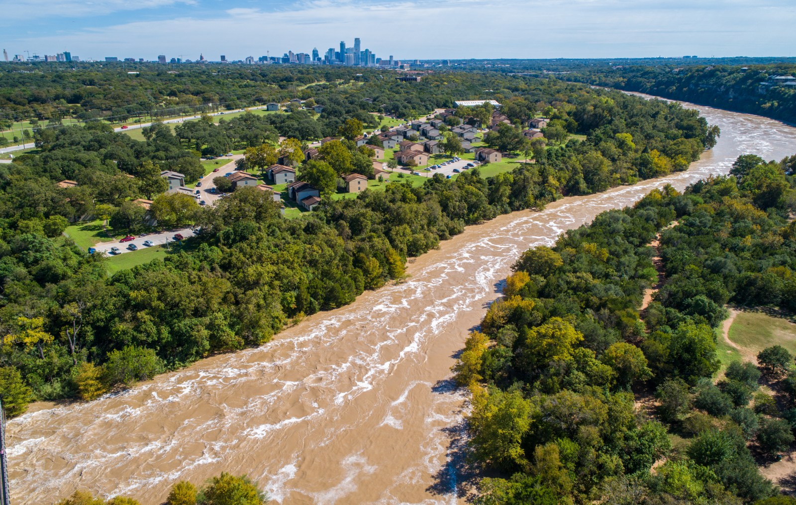
Flash Flood Risk Across Texas
Texas is facing a rare flash flood situation. Meteorologists predict that some areas might experience more than a foot of additional rainfall through Wednesday night. Flash flood warnings are widespread across the state.
Flooding is one of the most dangerous weather hazards in the U.S. The National Weather Service (NWS) reports that floods and flash floods cause over 100 fatalities annually. These numbers often exceed those from tornadoes. Many flood-related deaths occur in vehicles as fast-moving water can quickly carry cars away.
Warnings Issued Across the State
The NWS has issued multiple flash flood warnings. Areas from the Texas Hill Country and locations west of San Antonio to Central Texas are on alert. Counties impacted include Uvalde, Medina, Bandera, Bell, Coryell, and Milam. Several warnings highlight life-threatening conditions, with rainfall already reaching 5 to 10 inches in certain areas.
CBS Austin meteorologist Avery Tomasco issued a concerning outlook on the weather. He mentioned that while the situation is dynamic and uncertain, new data suggests a dangerous night ahead. Latest forecasts show an additional 6 to 12 inches of rain expected through Wednesday night. South-Central Texas faces particular concern, prompting a rare high risk for flash flooding from the NWS Weather Prediction Center.
High Risk Designation
A high risk designation indicates widespread and catastrophic potential for flash flooding. This rare label applies to areas west of San Antonio to the Rio Grande until 7 AM Wednesday.
In northeastern Uvalde County, the NWS noted 5 to 10 inches of rainfall had already fallen by Tuesday morning, with more expected. Medina County reported similar totals. Additional warnings cover nearby counties, advising residents to seek higher ground immediately.
Impact on Central Texas
Central Texas is also experiencing heavy rainfall. In Bell County, towns like Temple, Belton, and Harker Heights have 1 to 4 inches of rain, with more predicted. Nearby areas in Bell and Coryell Counties have recorded up to 3 inches, while Milam County has between 2 and 4 1/2 inches.
Forecasts remain uncertain, but meteorologists worry about potential repeated thunderstorms over the same regions. Should higher rainfall projections occur, already saturated ground may struggle to absorb more water, risking rapid creek rises and roadway flooding.
Residents in affected areas should monitor forecasts closely, have multiple means for weather alerts, and be prepared to move to higher ground if necessary.