
Understanding El Niño
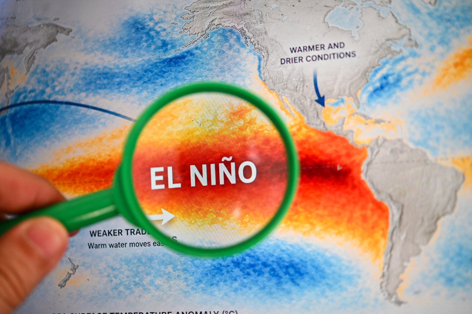
The National Oceanic and Atmospheric Administration (NOAA) describes El Niño as the warm phase of the El Niño-Southern Oscillation (ENSO), a recurring climate pattern in the Pacific Ocean. This phase alters ocean temperatures and disrupts tropical wind and rainfall patterns, leading to worldwide weather impacts.
During winter, El Niño typically brings wetter conditions to the Southern U.S. while creating warmer and drier conditions in the Northern regions.
What Constitutes a “Super” El Niño?
The term “super El Niño” is informally used by meteorologists to denote an exceptionally powerful El Niño event. These occur when ocean temperature anomalies rise more than 2 degrees Celsius above the average. Such events are uncommon, with notable instances occurring in 1982-83, 1997-98, and 2015-16.
Forecasters’ Predictions
AccuWeather’s updated forecast from August 3 indicated a more than 90 percent probability that El Niño could reach super status by the end of the Atlantic hurricane season. While a stronger El Niño might dampen tropical activity, it does not guarantee that storms will be less damaging.
Alex DaSilva from AccuWeather highlights that increased El Niño strength increases wind shear over the Atlantic. This can impede the formation or strengthening of tropical storms and hurricanes. However, it doesn’t eliminate the possibility of severe weather.
Current Status and Expectations
Fox Weather reports El Niño continues to strengthen and may become one of the strongest on record by late 2023 or early 2024. Currently, water temperatures in the Pacific are 1.5 degrees Celsius above average, considered a “strong” El Niño. To achieve “super” status, temperatures must exceed 2 degrees Celsius above average for at least three months consecutively.
Historically, super El Niño events since 1970 have quickly transitioned into neutral or La Niña conditions afterward. The 1997 event serves as a comparative benchmark for current developments, although forecasts suggest the current El Niño might surpass it.
Looking Towards 2027
According to Polymarket, an 88 percent chance exists that winter 2026-27 will witness a super El Niño.
CPC’s Climatic Outlook
The Climate Prediction Center (CPC) in its July 9 update anticipates that El Niño will continue to intensify through 2026, with a 97 percent certainty of persistence into spring 2027. The likelihood of experiencing a very strong El Niño between October and December is pegged at 81 percent, marking it as one of the most significant events since 1950.
Despite the potential strength of El Niño, its impacts vary widely, and stronger events mainly affect the probability of certain weather patterns.