
Unprecedented Rainfall Sets Record
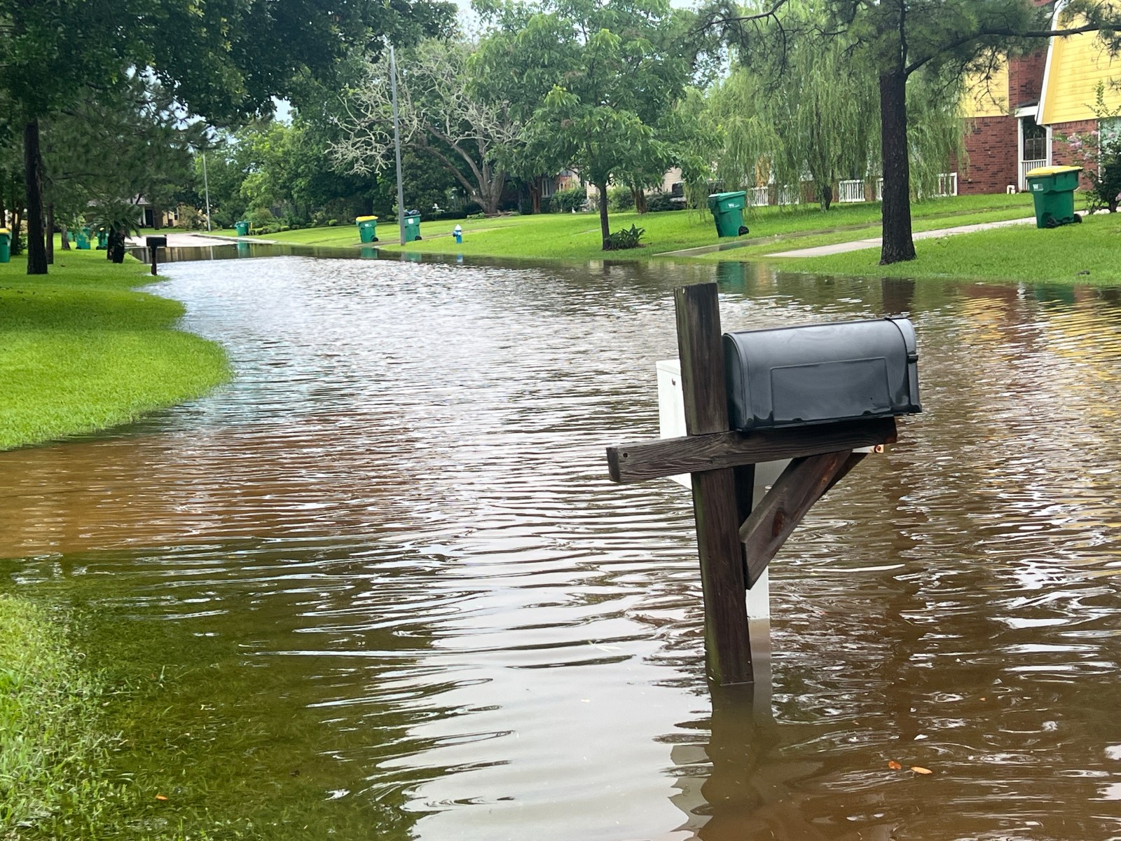
Ohio’s Kelleys Island faced an extraordinary weather event when nearly four months’ worth of rain fell in less than half a day. Meteorologists identified this as an unofficial all-time rainfall record for the Lake Erie island. Over the course of late Sunday into Monday morning, between 13 and 16 inches of rain inundated the island, as reflected in weather reports and emergency officials’ statements. This resulted in flooded roads, homes, and businesses. The National Weather Service (NWS) issued numerous flash flood warnings, and residents reported significant damage due to submerged roads and flooded basements.
Rainfall Records Shattered
Kelleys Island is a vacation hotspot located about 4.5 miles north of mainland Ohio in Erie County. Normally, July brings around 4.1 inches of rain according to NWS observing program leader Brian Mitchell. In a matter of hours, the island received almost four times its average monthly rainfall. The previous statewide rainfall record was 10.75 inches set in Shelby County in August 1995, as noted by Mitchell. Updating the state’s official record could take weeks despite documentation of the extreme rainfall.
Chief meteorologist Chris Vickers from WTOL reported rainfall measurements exceeding 17 inches on the island. This surpassed prior records and resulted in widespread flooding. Authorities advised residents to steer clear of flooded zones and to conserve water due to infrastructure stress from the runoff. Rainfall exceeded the NWS 1-in-1,000-year event parameters, which requires 8.41 inches of rain within 24 hours.
Understanding 1-in-1,000-Year Events
Such remarkable rainfall events are described as 1-in-1,000-year type, though this description doesn’t signify singular occurrences every thousand years. It refers to a 0.1 percent yearly chance, as per historical records and statistical analysis. Scientists caution that these events can occur in rapid succession since they describe occurrence probability, not spacing.
Temperature increases influence the frequency of these events. Warmer air can hold more moisture, leading to heavier downpours. Research indicates a 7 percent increase in atmospheric water capacity with every 1°C (1.8°F) of warming, fueling storms with more moisture.
Implication of Climate Change
Kelleys Island’s flooding highlights a national trend toward increased precipitation events. The U.S. Global Change Research Program and National Climate Assessment reported a significant rise in heavy rainfall occurrences over the past century. The Midwest and Northeast saw the greatest increases.
Though not all individual storms are directly caused by climate change, it can affect conditions that result in higher rainfall totals. Recently, multiple “once-in-a-century” and “once-in-500-year” flood events have happened in short succession across the United States.
El Niño and Weather Patterns
While El Niño affects global weather patterns, including North American precipitation trends, it influences broader and longer-term seasonal patterns rather than individual storm systems. The severe weather that hit Kelleys Island ties more directly to slow-moving storm complexes, known as “training” thunderstorms.
Future Considerations
With floodwaters receding, residents and officials will begin evaluating infrastructure and property damage. Repairs may be needed for roads, homes, and businesses, while emergency managers assess state or federal assistance requirements. Currently, no weather watches or warnings are active for the area according to the NWS Cleveland office.