
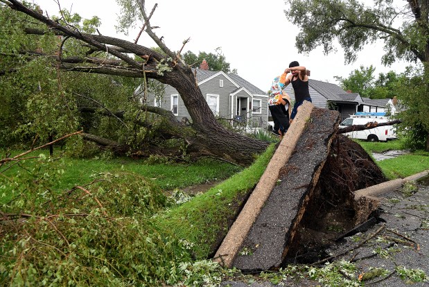
At Indiana University Northwest, Joe Blockland’s students are utilizing an app he developed to study trees on campus. This tool, born from the aftermath of a recent storm, allows them to assess tree health. Blockland teaches his GIS students practical applications of technology, focusing on signs of damage in over 400 campus trees. “Each session improves their skills,” he remarked. “We’ve documented approximately 130 trees so far.”
Blockland’s background in tree servicing informs his approach. He sees the app as a valuable resource for communities and campuses. It aids in data collection to address practical issues. Students help define categories for evaluation, enhancing their understanding of GIS’s job landscape. They begin with basic tasks, gradually advancing.
This app taps into the high demand for simple data collection tools. Entities like government agencies and nonprofits seek streamlined solutions. For example, Ducks Unlimited used an app to assess conditions around culverts in Northwest Indiana. Simple reporting tools, where users photograph issues like potholes, illustrate this demand. GIS specialists can then automate certain processes using AI, making field data more accessible and actionable.
Blockland emphasizes the growing importance of GIS technology. He recalls his initial challenges with GIS but now recognizes its potential. As technology evolves, he updates his courses to align with industry standards. For entry-level positions, a strong command of AI tools and dashboards is essential. Salaries for GIS professionals are promising, with a trajectory that increases with experience and skill.
Blockland’s curriculum includes environmental science and geology. Students from various majors join GIS classes, learning to create and modify apps and dashboards. They begin fieldwork immediately, setting aside preconceived ideas. The introductory survey course offers a broad understanding of basic tools.
Advanced classes delve into AI tools, databases, and environmental GIS. Students tackle issues like flood risk and damage estimation using technologies like infrared. Programming classes include Python for automating tasks. These courses prepare students to navigate and contribute to the GIS field.
Blockland hopes this hands-on experience sparks a lasting interest in GIS, nurturing students to explore and innovate in the field.